Subsurface
Multi-layer heterogeneous sensing
More than 33 m of subsurface coverage capturing rainfall, moisture, pore pressure, microseismic and movement signatures.
 FOR MOTHER EARTHAmrita landslide research
AI-integrated IoT · since 2009
What began as the world’s first wireless sensor network for landslide detection is now a real-world lifeline across the Western Ghats and the Himalayas.
Sensors, continuous real-time monitoring
Depth of multi-layer sensing
AI/ML nowcast and forecast
Lives impacted in Western Ghats & Himalayan deployments
How it works
Each warning passes through five stages. Select a stage.
Sense → Threshold → Model → Warn → Act
Sensors more than 33 m below ground, satellites and automatic weather stations record rainfall, moisture, pore pressure, microseismic and movement signals in real time.
Sensing & communication
Subsurface
More than 33 m of subsurface coverage capturing rainfall, moisture, pore pressure, microseismic and movement signatures.
Edge
Self-managing devices balance compute, communication and battery life across remote, harsh terrain.
Network
Adaptive software keeps data flowing through link failures, monsoons and power events.
AI/ML decision support
Site-specific and regional rainfall thresholds combine with multi-parameter AI models. They keep the nowcast reliable when real-time feeds are interrupted, and extend the warning horizon up to 24 hours ahead.
That gives communities and authorities critical preparation time before extreme events.
Precursors
A distributed microseismic IoT system detects subsurface movement signatures, so slope-failure precursors are identified early.
Indukala et al., IEEE Access, 2024
Citizen science
Spatio-temporal crowd-sourced reports complement sensor data and strengthen community resilience.
See the apps →Where it runs
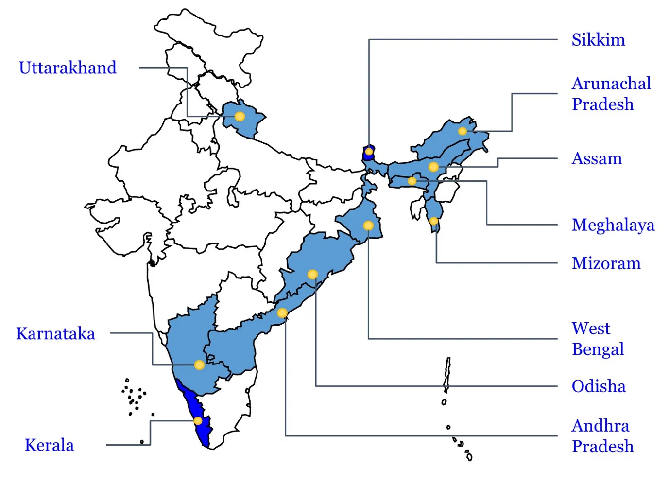
First deployed in Munnar in 2009, the system has issued advance warnings every monsoon since.
| Site | Since | Notes |
|---|---|---|
| Western Ghats · Munnar, Idukki, Kerala | 2009 | First deployment; 14% of the territory is landslide-prone |
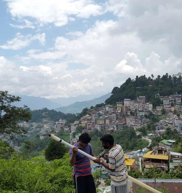
| North-East Himalayas · Sikkim-Darjeeling | 2018 | Co-funded by the Ministry of Earth Sciences and Sikkim SDMA; deep-earth, hydrological and meteorological sensing |
| Karnataka · Kodagu | MoU 2023 | With KSNDMC; rainfall-threshold dynamic landslide maps |
| Odisha · Gajapati | MoU 2024 | Cyclone-induced landslides |