
01
Research & labs
The science
behind the warnings
From microseismic sensing to India’s first landslide simulation laboratory.
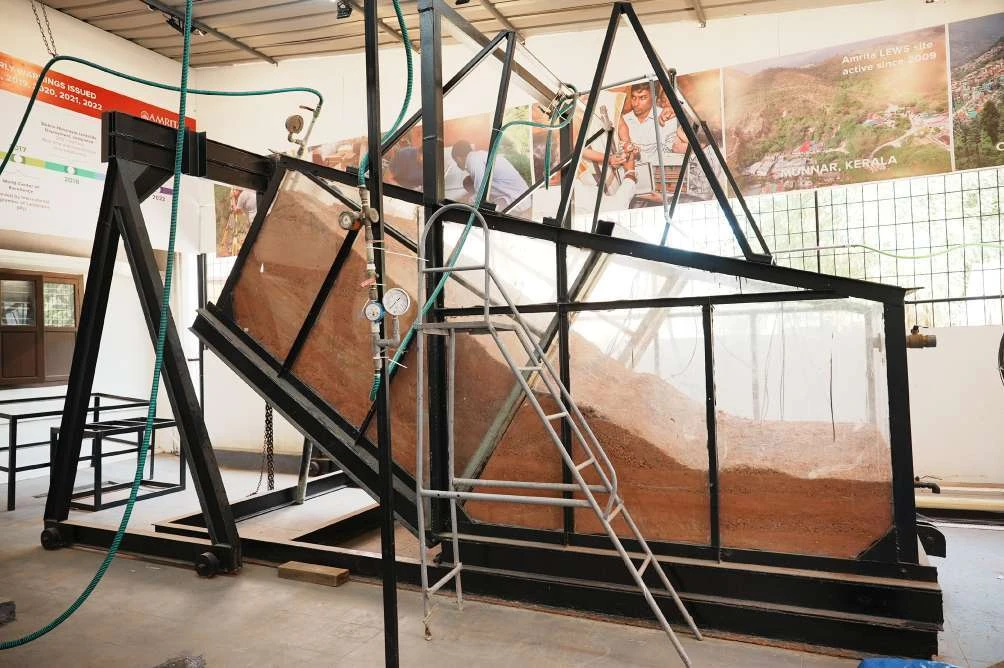
India’s first medium & large-scale facility
Movement-based
landslide laboratory
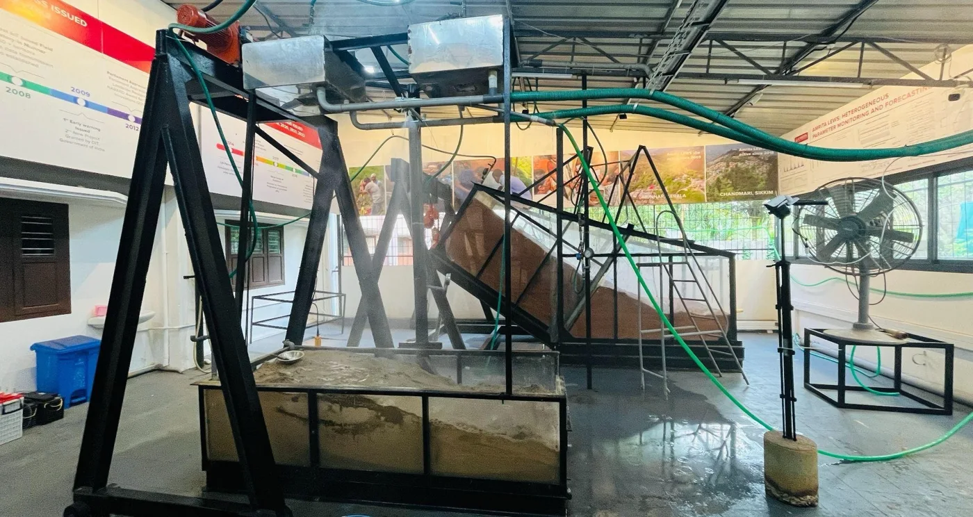
Researchers recreate landslides under control: the soil, the slope, the rain and the water seeping through it.
4.6 × 2.6 × 2 mTest bed
24 tSoil, at depths of 4 ft
0° to 45°Variable slope, adjustable triggers
8 t + 2 tCoupled multi-trigger test beds
- Rainfall simulator with accurate raindrop-size distribution
- Seepage simulator covering varied infiltration rates
- Coupled 8-ton and 2-ton multi-trigger test beds for comparative studies
Integrated research streams
Nine lines of
investigation, one goal
02
Threshold development
03
AI/ML decision models
04
Laboratory modelling & simulation
05
Community-scale resilience
06
Geophysical & geotechnical investigation
07
Microseismic sensing
08
Risk & vulnerability mapping
09
Social media analytics
Related focus areas
Where landslides meet
other hazards
Glacial lakes
GLOF-induced hazards
Site investigations of Sikkim, Chamoli and glacier-lake outbursts.
South Lhonak case →Climate
Hydroclimatic extremes
Shifting precipitation, extreme rainfall and cloudbursts, studied with machine learning and deep learning.
Forecasting
Extended-range rainfall
Daily rainfall forecasts 10 to 30 days ahead, fusing satellite, ground and model data to support early warning.
Geophysical instrumentation & consultancy
State-of-the-art terrain
investigation
These instruments look beneath a slope without disturbing it, and feed multi-modal models calibrated against laboratory analyses. DGPS and photogrammetric drones complete the kit.
| Instrument | Model | Key specifications |
|---|---|---|
| Electrical Resistivity Tomography (ERT) | SYSCAL R1Plus Standard & Switch | Depth up to 100 m · electrode spacing 5 m and 10 m · 2D and 3D imaging |
| Seismic Refraction Tomography (SRT) | PASI GEA-24 | Depth up to 50 m · geophone spacing 5 m · 2D and 3D |
| Ground Penetrating Radar (GPR) | GSSI UtilityScan | Max depth 10 m (35 ft) · 350 MHz antenna · RADAN 7 software |
| LiDAR + RGB | Zenmuse L2 | Range 450 m (50% reflectivity) / 250 m (10%) · accuracy 4 cm vertical, 5 cm horizontal at 150 m · 240,000 points/s, up to 5 returns |
| Payload drone | Matrice 350 RTK | Payload 2.7 kg · altitude 5,000 m · 55 min per battery · 23 m/s |
| Acoustic Doppler Current Profiler (ADCP) | SATLab trimaran-mounted | 0.1 to 6 m/s · endurance 40 km at 1.5 m/s · SBES 200 kHz · depth 0.15 to 300 m |
| Spectroradiometer | Spectral Evolution RS-3500 | 350 to 2,500 nm (UV-VIS-NIR) · resolution 2.8 nm at 700 nm |